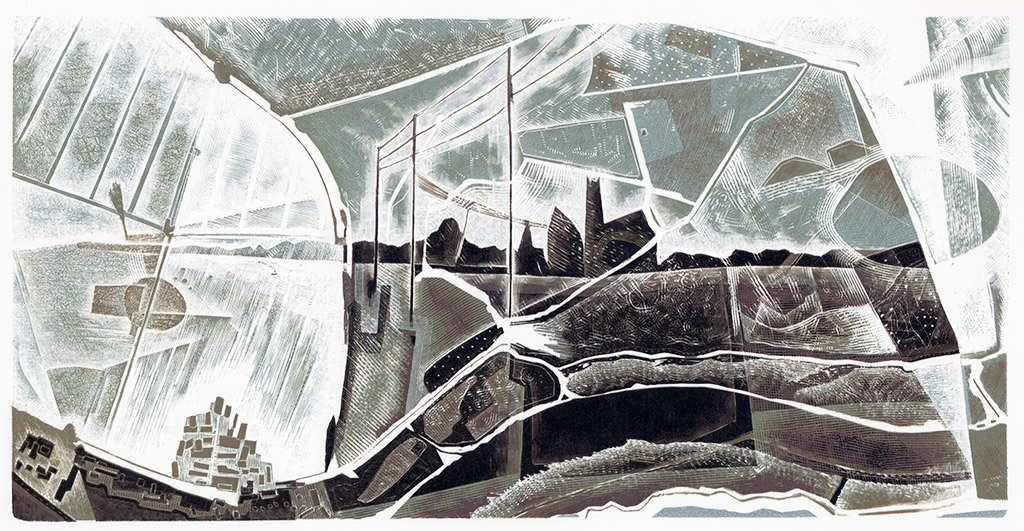
mapping the broads

These engravings begin a mapping and recording process in response to the environmental and geological narratives of the Broads National Park, Norfolk, and provide a visual and historical record of this vulnerable location. Through their production and the processes of walking, drawing, engraving and printing I explore the notion of place and the narratives which make it. This dynamic, vulnerable landscape evokes an overwhelming sense of temporality, fragility and loss.

The engravings are developed using a range of processes and source materials. Drawings made on location and within the studio map, record and capture the experiential nature of this open and temporal place. Maps, documentation, stories and artefacts explore historical narratives, time and the ever-evolving nature of place. Collecting, recording and documenting, map and record a place from a different perspective making tangible the intangible. The engravings begin to explore and map this place, the marsh lands past and present, and experience a uniqueness in a quest to understand what makes place and why landscape has value